Day 01: Arrival in Paro
Welcome to Bhutan! In the next 31 days, let us guide you to the most astonishing places in the Land of Thunder Dragon!
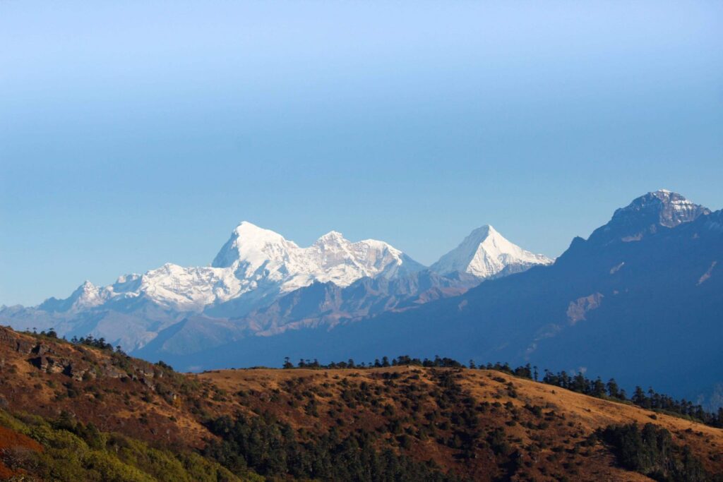
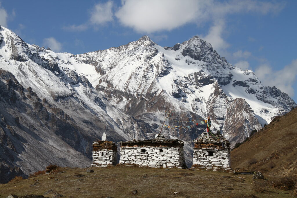
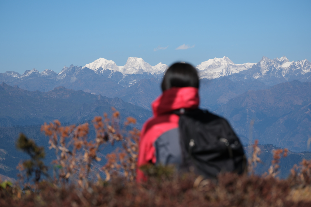
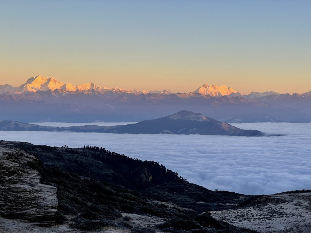
Your plane will land at Paro International Airport (2,300m). The Himalayan mountains dominate Bhutan’s landscape, so of course the first thing you will see from the plane is the breathtaking scenery of mountain peaks covered by a thick snow blanket. On good days with the sun up high, the snow blanket glisters under the sunlight, making it a spectacle to behold for lucky visitors! Bhutan will impress you from the first moment you are in the country.
Our representative will be waiting at the Arrival Gate to welcome and accompany you to your hotel in Paro town.
After a short rest at the hotel, it’s time for our adventure. We will visit the National Museum of Bhutan. Formerly called Ta Dzong, its mission was to watch over Paro Dzong from the top of the hill. In 1968, it became a museum and since then has welcomed thousands of visitors. There are valuable collections with a large number of antique thangka paintings, weapons and armor, and a rich diversity of natural and historic artifacts. All items can give visitors an insight into the unique Bhutanese culture and heritage.
Later, discover the striking Paro Rinpung Dzong (Fortress of The Heap of Jewels), an excellent example of Bhutanese architecture with a complex of courtyards, temples, offices and accommodating area behind the towering walls. The edifice sits on a steep hillside, offering terrific views of Paro valley. And no matter where you are in Paro valley, you can always see the dzong.
You can opt for exploring and visiting some shops in the area once we return to the town. It offers thrilling nightlife with amazing live music, tasty food and local alcohol. Don’t be afraid to try these delicacies!
We will stay overnight at the hotel in Paro.
Day 02: Paro sightseeing
Half of the day will be for a hike to Taktsang Monastery, or the ‘Tiger’s Nest’. It is one of the most sacred and astonishing sites in Bhutan. There is a saying that “If you haven’t visited Taktsang Monastery, your trip to Bhutan is not completed”. Legend says that Guru Padmasambhava (Guru Rinpoche) arrived here on the back of a tigress in the 8th century. Subsequently, he chose to meditate here. Guru Rinpoche is a highly respected figure in the Himalayas, he is called the second Buddha.
We will begin our hike early in the morning, so you can enjoy the fresh air and soft touch of the sunlight.
There will be breaks along the way to let you admire the enchanting views of Paro’s pristine landscape, from the emerald green valleys to the snow-clad Himalayan peaks. Once we are there, you will have time to wander the monastery.
In the afternoon, we will visit Kyichu Lhakhang. The temple was built in the 7th century by the Tibetan Emperor Songtsen Gampo, it’s now one of the oldest temples in Bhutan. Kyichu Lhakhang was one of the 108 temples built to halt a giant female ogre from preventing the spread of Buddhism in the Himalayas. Visitors to the temple can admire its majestic architecture and the intriguing sight of pilgrims constantly shuffling around the temple, spinning its prayer wheels. It’s fair to say that Kyichu Lhakhang is among the most charming sites in Bhutan.
We will rest at the hotel in Paro for another night and prepare for the next day, which will also mark the first day of the trek.
Day 03: Sharna Zampa – Soi Thangthangkha
- Distance: 20km
- Estimated time: 6-7hrs
- Ascent: 700m, descent: 10m
- Camp altitude: 3,600m
In the early morning, we will drive to the starting point to start the famous Snowman trek.
The trail will have lots of small ups and downs. After going uphill through the river valley, we will enter the Jigme Dorji National Park. It is the second largest park in Bhutan.
We will trek through the valley, descend to a lovely meadow, where the camp will be set up. From here, if weather permits, we will have the first view of the great Mount Jomolhari.
Day 04: Soi Thangthangkha – Jangothang
- Distance: 19km
- Estimated time: 5-6hrs
- Ascent: 550m
- Camp altitude: 4,100m
We will have another chance to admire Mt. Jomolhari in the early morning.
The trail will follow the Paro Chhu then come into an area of alpine meadows and scanty growths of forest. Cross an army checkpoint along the way and enjoy a spectacular view of high mountain ridges and snow-capped peaks. Along the way, we will often see the yaks and the herder’s homes.
We will soon pass the picturesque villages of Soe, Takethang and Dangochang – another highlight on this day. After reaching Jangothang, one of the most beautiful campsites of the Himalayas, we will again have a spectacular view of Mount Jomolhari. The campsite will be beneath a ruined fortress at the base of Mount Jomolhari.
Day 05: Rest day at Jangothang
Today will be for resting and acclimatizing before we get to higher altitude.
There will be choices of day hikes with great views of lakes and snowcapped mountains such as Jomolhari and Jichu Drake. We will probably be able to spot some blue sheep on the upper slopes of the valley.
You can also trek up to Tosoh Lake or hike around the area. There are good short hiking trails in three directions. Jomolhari and its subsidiary mountain chains lie directly west, Jichu Drake to the north and there are a number of unclimbed peaks to the east.
Day 06: Jangothang – Lingshi
- Distance: 17km
- Estimated time: 6-7hrs
- Ascent: 800m, descent: 870m
- Camp altitude: 4,010m
A short distance from the camp, we will hike rapidly for about half an hour and then come to a gradual ascent to the Nyilila pass at 4,815m and admire the landscape while we’re on the hike.
From the pass will be the spectacular views of Mount Jomolhari, Jichu Drake and Tsherimgang, all of them rising above 7,000m. When coming to a gradual descent to the camp, we will come across some yak herder’s tents, made from yak wool. The herders use these tents while travelling to various pastures for their yaks.
Soon we will come down into the Lingshi basin, a beautiful U-shaped valley. and on beautiful days, the stunning sight of Lingshi Dzong can be seen from afar. There is also Tserimgang and its glaciers rising up at the north end of the valley. The campsite will be next to a stone hut we reach just before Lingshi Dzong.
Day 07: Lingshi – Chebisa
- Distance: 10km
- Estimated time: 5-6hrs
- Descent: 200m
- Camp altitude: 3,880m
Contradict to the previous day, we will do a really short hike today. We will reach a chorten below Lingshi Dzong after a little walk. Here, you have the choice of staying on the main trail or taking a detour up to the Lingshi Dzong (4,220m). The Dzong sits right atop a high ridge with breathtaking views of the entire valley.
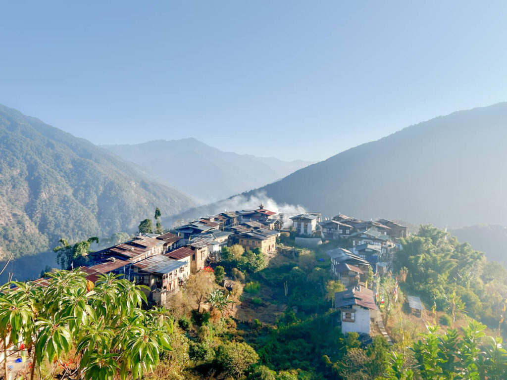
Passing Lingshi Dzong, we will come to the villages of Lingshi and Goyul. In Goyul, the stone houses are clustered together to form a small compact village. This is not common in Bhutan as you may have seen before Goyul that the houses are usually scattered. After settling at the campsite at Chebisa, you will have plenty of time to visit the village houses. There is also a beautiful waterfall located behind the village that is worth visiting.
Day 08: Chebisa – Shomuthang
- Distance: 18km
- Estimated time: 6-7hrs
- Ascent: 600m, descent: 350m
- Camp altitude: 4,200m
The trail will descend for 2-3 hours through a wide pastureland towards Gogu La pass (4,460m). On the way, you will again see the herds of yaks and blue sheep.
After crossing Gogu La pass, we will go down into the valley, then hike again a little bit, before heading to Shakshepasa (3,980m), a large U-shaped valley. We will climb to reach the campsite at Shomuthang, located above a river which is a tributary of the Nochu river.
Day 09: Shomuthang – Robluthang
- Distance: 18km
- Estimated time: 6-7hrs
- Ascent: 500m, descent: 600m
- Camp altitude: 4,160m
In the morning, hike up the valley to view Kang Bum (6,526 m) and some edelweiss.
After another 2 hours of walking, we will reach Jhari La pass (4,730m) from where we can see the first glimpse of Sinche La, our destination for the next day. The big snow peak in the north is Gangchhenta 6,840 m, better known as the Great Tiger Mountain. If the weather is clear, Tserim Kang and the top of Mount Jomolhari will be visible. The camp by the river is Tsheri Jathang, located in a beautiful and remote valley.
During summer, the valley sees herds of takin, the Bhutanese National Animal, migrate here and stay for about four months. Thus, this place has been declared a takin sanctuary.
From the valley, hike up a little bit and we will reach the campsite at Robluthang in a rocky meadow.
Day 10: Robluthang – Limithang
- Distance: 18km
- Estimated time: 6-7hrs
- Ascent: 850 m, descent: 880m
- Camp altitude: 4,140m
From Robluthang, hike up for about 40-60 mins before crossing a boulder field for another 1.5 hours. We will again go up to explore Sinche La pass (5,005m). Continuing on and descending, we can see a remarkable moraine and a scenic glacial lake at the foot of the valley. Below the moraine, we will cross the Kango Chhu and get to Limithang campsite. The locals here can be seen wearing their unique regional dress.
Even from the campsite, you can still have the view of Jitchu Drake and Tsheri Kang in the west, as well as the peaks of Mount Gangchhenta (Great Tiger Mountain) in the distance.
Day 11: Limithang – Laya
- Distance: 10km
- Estimated time: 5hrs
- Ascent: 60m, descent: 300m
- Camp altitude: 3,840m
Enjoy the fresh air in the morning with a hearty breakfast before we get back on track.
We will walk downhill through a fertile river valley then enter the eastern end of Laya village. If you stand to the west of the village, you will have wonderful views of Mt. Gangchhenta and Mt. Masagang. The campsite will be located below a community school in the village centre.
Day 12: Rest day at Laya village
Today we will slow down with some rest, exploring Laya village and meeting the local people. This is your chance to genuinely learn about life of the Bhutanese in this region.
While you are here, try the hot stone bath. The wooden boxes are partly buried in the ground, then filled with water, and herbs are added in for health purposes. Next, they will warm up the water by heating the stones and drop them into the bath. The hot stone bath is a very pleasant experience for visitors to the village, helping to relax one’s mind and body. It’s the Bhutanese’s favourite way to loosen up after a long working day.
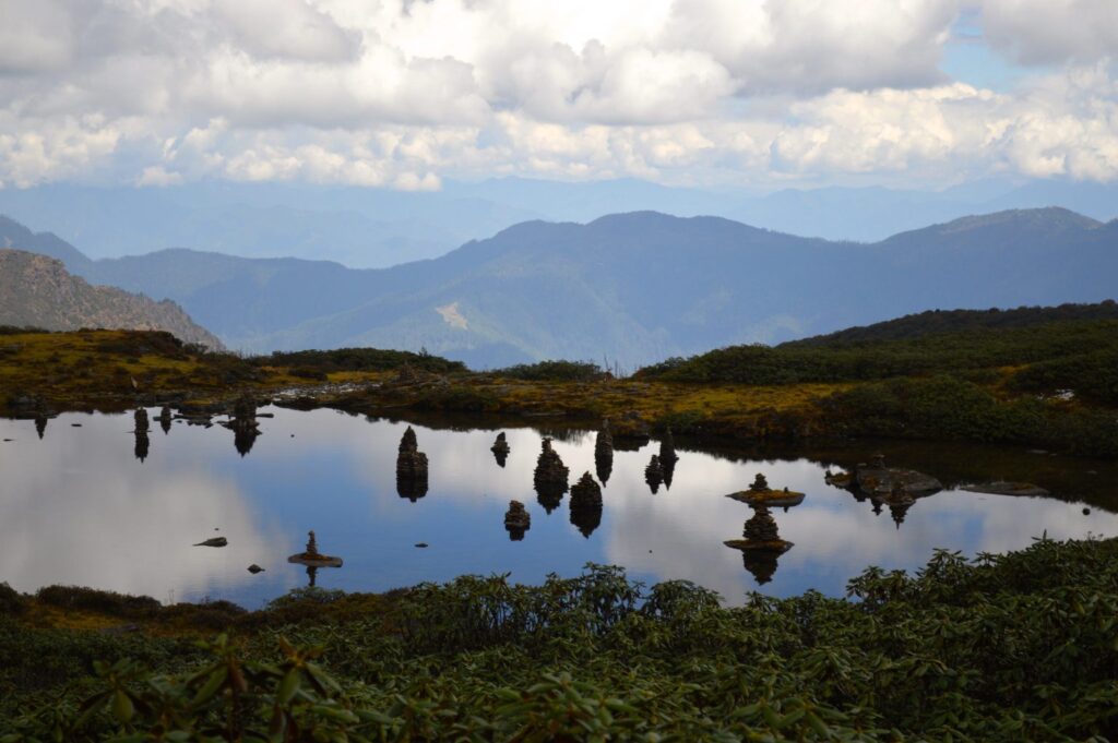
The village is close to a number of holy lakes, namely Kharkhil Tscho, Paro Tsho and Oneme Tsho, in the area of Chhuton Chhagari. You can spend time indulging in the pristine nature and admire the crystal-clear water body of these lakes. The lakes are surrounded with green meadows and lovely flowers when the season comes. This is a nice change of scenery from the colossal mountain ranges on your trek. Otherwise, visiting the hot springs at Lungo village is another recommendation from us.
Day 13: Laya – Rhoduphu
- Distance: 19km
- Estimated time: 6-8hrs
- Descent: 400m
- Camp altitude: 4,160m
From Laya, we will descend to an army camp and follow the river until the turnoff point to Rhoduphu. After lunch, the walking will lead through beautiful rhododendron bushes all the way to our camp at Rhoduphu, just next to the Rhodu Chhu.
Day 14: Rhodophu – Narethang
- Distance: 17km
- Estimated time: 6-7hrs
- Ascent: 740m
- Camp altitude: 4,900m
We will follow the river and gradually hike to a high open valley at 4,600m to reach Tsomo La pass (4,900m). Tsomo La offers a superb view of Lunana, Mount Jomolhari and Jichu Drake, and you can also see the Tibetan border. After the pass, we will cross a flat, barren plateau at about 5,000m. The campsite at Narethang is towered by the peak of Gangla Karchung (6,395m).
Day 15: Narethang – Tarina
- Distance: 17km
- Estimated time: 5-6hrs
- Ascent: 270m, descent: 1,000m
- Camp altitude: 4,000m
From the camp, hike to Gangla Karchung La pass (5,180m). The view from the pass is breathtaking and the whole range of mountains including Jekangphu Gang (7,100m), Tsenda Kang and Teri Gang (7,300m) can be seen.
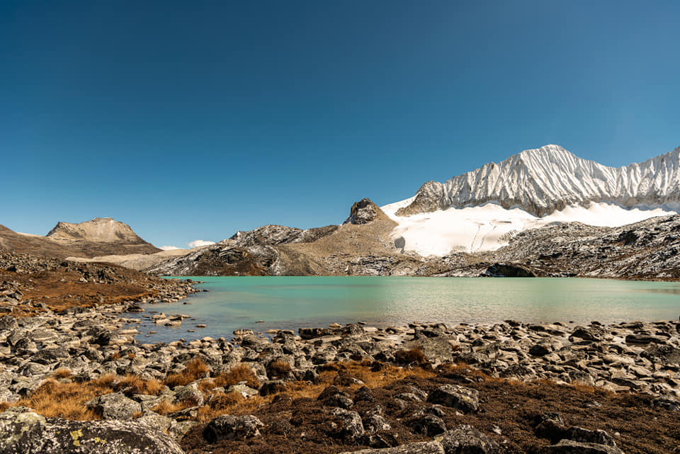
Then we will descend along a large moraine. You’ll be rewarded with a wonderful sight of a massive glacier spreading from Teri Kang to a deep turquoise lake at its foot. Finally, we will go downhill, through thick rhododendron bushes to Tarina valley. Today’s campsites will be next to the Tang Chhu.
Day 16: Tarina – Woche
- Distance: 16km
- Estimated time: 6-7hrs
- Ascent: 270m, descent: 120m
- Camp altitude: 4,000m
The walk will lead down through conifer forests following the upper ridges of the Pho Chhu, passing some impressive waterfalls. The trail then climbs over a ridge and drops to Woche, a settlement of a few houses, the first village in the Lunana region.
Day 17: Woche – Lhedi
- Distance: 17km
- Estimated time: 6-7hrs
- Ascent: 490m, descent: 900m
- Camp altitude: 3,700m
We will go through lush forest of juniper and fir and rhododendron bushes. Hike up to Keche La pass at 4,620m, this mountain pass also offers a breathtaking view of the surrounding.
After the pass, descend to the riverside, then we’ll walk through a village with a stunning view of the Table Mountain along with some other great mountains. Follow up the river till we reach Lhedi village. Our camp site will be located in the village.
Day 18: Lhedi – Thanza
- Distance: 17km
- Estimated time: 6-7hrs
- Ascent: 420m
- Camp altitude: 4,150m
With nice weather, you can enjoy the striking view of Table Mountain (7,100m). We will pass the small village of Chozo (4,090m), which has a dzong still in use. Even after reaching Thanza again, we can still catch the sight of Table Mountain behind the village. Although there are possibilities to camp directly at Thanza, most groups prefer to camp in Thoencha.
Day 19: Rest day at Thanza
Today we will have a break and simply enjoy the pristine nature around Thanza.
You can walk around and experience the local village life. Or else, try hiking up the ridge for fascinating views of lakes and mountains. These scenic sights will be the material for a lot of beautiful pictures. Keep them in your memories and in your photos, too!
Day 20: Thanza – Tshorim
- Distance: 19km
- Estimated time: 7- 8hrs
- Ascent: 1,150m.
- Camp altitude: 5,120m
From Thanza village, we will walk up to the ridge. The ridge’s altitude is 4,500m and rises gradually up to 4,650m. Look to the left from here, we will have the scenic landscape of Thanza valley below.
We’ll follow a stream through a small valley and take in the view of snowcapped mountains in the distance. Walk up out of the valley to reach our campsite at Tshorim (5,125m).
Day 21: Tshorim – Zanam (Gangkhar Puensum Base Camp)
- Distance: 16km
- Estimated time: 5-6hrs
- Ascent: 200m, descent: 500m
- Camp altitude: 4,970m
This day will be one of the highlights of the trek.
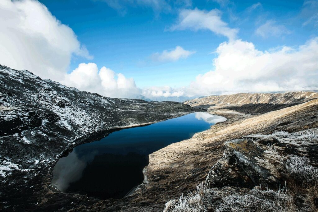
After a fulfilling breakfast, the day will begin with a short walk to the Tshorim Lake (5,120m). We will walk on the side of the lake and enjoy a panoramic view of the Gophu La ranges. The last hike to the Gophu La pass (5,464 m) will be very short.
After the pass, we will descend to the base camp, walking along the ridge to see a great view of Gangkhar Puensum mountain. You can hike up a pyramid shaped peak for a better view of the mountain or go right to the base camp (4,970m) near the Sha Chu.
Day 22: Zanam (Gangkhar Puensum Base Camp) – Menchugang
- Distance: 15km
- Estimated time: 5hrs
- Descent: 730m
- Camp altitude: 4,200m
The path today will have only a few ups and downs. We will hike, follow the Sha Chhu and descend gradually until we arrive at Menchugang.
Day 23: Menchugang – Warathang
- Distance: 17km
- Estimated time: 6-7hrs
- Ascent: 760m, descent: 440m
- Camp altitude: 4,500m
Today is one of the most challenging days of the trek, with three passes to cross (Phorangla pass (4800m), Sekala (4,976m), and Mephula (4,786m). Our path will continue following Sha Chhu until the stiff climb to Saka La begins.
Visibility is poor along this part of the trail, so we must keep watching the top of the ridge in order to stay on course. The path then descends to a couple of lakes and another short ascent is stunning. The scenery once again is beautiful with small lakes and the mountain peaks.
Day 24: Warathang -Dhur Tshachu
- Distance: 10km
- Estimated time: 5 -6hrs
- Ascent: 70m, descent: 140m
- Camp altitude: 3,300m
We will walk to Nephula pass (4,603m) before descending to the riverside through pristine rhododendron, juniper and conifer forests. Then cross a bridge and after a short hike reach Dhur Tshachu hot spring, where legend has it that Guru Padmasambhava bathed in the 8th century. Not only a sacred place, but Dhur Tshachu is praised as the most beautiful hot spring of the Himalayas.
Day 25: Dhur Tshachu to Tshohenchen
- Distance: 16km
- Estimated time: 7-8hrs
- Ascent: 1,448m, descent: 660m
- Camp altitude: 3,850m
From the Dhur Tshachu, trek through the jungle and ascend to Gotongla pass (4,441m). Continue and we will come across Juli Tsho lake. We will walk all the way to Julila pass (4,800m) and reach the camp at Tshochenchen.
You may feel that today’s trek is tougher than before as there is slightly more climbing than descending.
Day 26: Tshochenchen – Dhur village
- Distance: 23km
- Estimated time: 7-9hrs
- Descent: 1,200m
This will be the last day on the trek. We will get to the end of the trek in Bumthang valley.
Throughout the day, there will be some river crossings, short ascents and descents through the forests, before we get to a long trek down all the way to Bumthang. The trail is quite rocky and often muddy, so you need to watch your steps.
After crossing the river in a suspension village and getting to Mechugang – a small lovely village. Then we will say goodbye to our horsemen and crew.
A car will be waiting at the village to take us to Bumthang. And we will stay at the hotel there.
Day 27: Discover Bumthang
In the morning, we will go and explore Jambay Lhakhang. This is one of the holy temples built by the 7th-century Tibetan king Songtsen Gampo. People believe the temples were erected in 659 in only one day to subdue a Tibetan demoness, and her left knee was pinned down by Jambay Lhakhang. Sometime after that, Guru Rinpoche visited the ancient temple and the Sindhu Raja renovated it after the Guru restored his life force.
After that, visit the imposing and important temple complex Kurjey Lhakhang. The sacred site is where the body (kur) print (jey) of Guru Rinpoche is preserved, located in a cave in the oldest of the three buildings of the complex.
We will then see the holy water at Kurjey Drupchu, located near Kurjey Temple. Kurjey Drupchu is belived to have been blessed by Guru Rinpoche himself.
From Kurjey Drupchu, we can either drive or walk to Tamshing monastery, our next stop. The walk will be around 1 hour. The building, formally called Tamshing Lhendup Chholing (Temple of the Good Message), is the most important Nyingma goemba in Bhutan. Established in 1501 by the great spiritual master Pema Lingpa, the site remained privately owned by his descendants until 1960. The unusual structure of the building was erected by Pema Lingpa himself, with the help of khandromas, who made many of the statues.
Bumthang Brewery and Bumthang Swiss Cheese Factory will be our next interesting stops, both were established by Frits Maurer (a Swiss immigrant) and now run by his children. Travelers are surprised since they do not expect to find Weiss beer right in the heart of Bumthang. The brewery is famous for their Red Panda Weise Beer, the beer is brewed in old school way and preservative-free. Thus, there are only 3000 bottles produced per month, and all are recycled back in production.
Next to the brewery is Bumthang Cheese Factory, which has been producing Swiss cheese since the 1960s. The fresh milk is collected from distant villages and carefully checked so that the factory can have the best cheese. Seeing the process of beer brewing and cheese making can be quite fascinating experiences, and you will get a bottle of your own and be able to try some of their cheeses. You may also buy some cheeses as souvenirs, your family and friends will surely be excited to try the Swiss cheese produced in Bhutan!
Later in the day, we will visit a farm house, and join dinner with the host family. They can tell you folk tales of the country, culture and even about small things like the ingredients of the served dishes for tonight. Moreover, try a hot stone bath to relax your body and mind after the trek. This is the Bhutanese’s favorite way of relaxing after a day of work. We are sure you’ll love it too. It is really an awesome experience to reboot your body with the herbs added in the hot water. – move to Bumthang
We will stay the second night at the hotel in Bumthang.
Day 28: Bumthang to Gangtey
- Altitude in Gangtey: 2,900m
- Distance: 158m
- Estimated time: 6hrs
The drive today will be quite long. Trongsa lies between Gangtey and Bumthang, and it also has very famous attractions. So, there is no reason to miss out on a chance to discover Trongsa. We will take you on a tour around Trongsa. In the late afternoon, we will arrive in Bumthang.
The first place will be the historic Ta Dzong, the famous watchtower which once guarded Trongsa Dzong from internal rebellion. After that, it now serves as the National Museum with impressively large collections dedicated to the Wangchuck Dysnasty. Visitors can gain an insight of the kingdom’s history from the collections. The information is very well presented and the items are quite diverse, you can see from ancient relics to statues of deities.
Continue and visit Trongsa Dzong. The building has a strategic location, sitting high above the roaring Mangde Chhu river. Completed in 1644, the complex is considered the most spectacular dzong in Bhutan, and you may agree with that opinion even before arriving here. From afar, Trongsa Dzong attracts visitors for its striking architecture with a sheer drop to the south that disappears behind the thick veils of clouds. The buildings trail down the ridge and are connected by a succession of alley-like corridors, with wide stone stairs. Between the buildings, you will come across lovely paved courtyards. Trongsa Dzong is so massive that it is easily visible from anywhere in town, thus remains a captivating sight to behold for visitors and locals.
After arriving at Gangtey in the afternoon and checking in, you can walk around to see more of the town.
We will stay overnight at the hotel in Gangtey.
Day 29: Gangtey to Punakha
- Altitude in Punakha: 1,300m
- Distance: 87km
- Estimated travel time: 3hrs
Our first destination today will be Gangtey Goemba. When erected in 1613, this was the only Nyingmapa monastery in the Black Mountain region, and it remains the largest Nyingmapa monastery in the western land until now. From the beautiful building, you can have the breathtaking views of Gangtey valley with stretches of green fields, untouched forests and towering mountains.
Then we will hike and follow the Gangtey Nature Trail. It is a popular walk, especially for travelers to discover the pleasant scenery of Gangtey valley. From the small hilltop overlooking Gangtey Goemba, the trail will descend to scenic meadows then to Semchubara village. After the village, the thick forest of blue pines will welcome us. You will certainly enjoy the feeling of being close to pristine nature, listening to the small sounds from the inhabitants of the forest. Continue and we will soon arrive at a valley viewpoint. The walk will finish once we see Khewang Lhakhang (Khewang temple).
While we are here, try playing archery and dart. A trip to Bhutan would not be complete without trying the two most popular sports of Bhutan. Both sports are a fun way to spend an afternoon with the locals with their family. Your guide and driver will be happy to teach you the basic techniques.
We then pay a visit to the Black–necked Crane Visitor Centre, which is located close by. The centre focuses on sustainable ecotourism activities, environment education, and conservation programs in Phobjikha valley. The building’s location allows people to overlook the wetlands, which is the Black-necked crane’s winter habitat.
Later, we will head to Punakha Dzong, or the ‘Place of Great Happiness’. Regarded as one of the most spectacular dzongs in Bhutan, this landmark has witnessed some of the most important moments in the history of Bhutan. Punakha Dzong offers a great view of the Pho Chhu and Mo Chhu, since it stands right at the confluence of the 2 rivers.
Not far from Punakha Dzong is Pho Chhu Suspension Bridge, and we’ll also visit it. With 160m in length, it is the longest suspension bridge in Bhutan. From the bridge, we can enjoy the wonderful sight of Punakha Dzong and Pho Chhu Valley.
We will stay at the hotel in Punakha.
Day 30: Punakha to Thimphu
- Distance: 75km
- Estimated travel time: 3hrs
Today we will travel from Punakha to Thimphu.
On the way, visit Chimi Lhakhang (Temple of Fertility). We will walk a short distance, crossing hillock fields to get to the temple. You can catch the sight of farmers working on the fields when passing Lobesa village on the way up.
Our next stop will be Dochula Pass (3,050m) with a mesmerizing panoramic view of the eastern Himalayas. The pass is a popular destination with travelers to Bhutan. Not only the stunning view, you can also see 108 “Druk Wangyal Chortens” built to commemorate the soldiers who died in the war against insurgents from India. Opposite the chortens is the Druk Wangyal Lhakhang with beautiful wall carvings and paintings inside.
After arriving in Thimphu, we will visit one of the most remarkable sites in the capital – the National Memorial Chorten. It can be recognised from afar for its unique structure. The striking whitewashed chorten with golden finial was originally built by the Third King, Jigme Dorji Wangchuck to pray for world peace. The chorten later serves as a memorial to the Third King.
Next, continue to Buddha Point (Buddha Dordenma Statue). This is the tallest statue in Bhutan – 51,5m, so you can see it from quite far before reaching the actual site. Walking inside, you will find 125,000 smaller Buddha statues, all made of bronze and gilded in gold.
Tashichho Dzong is a must-visit site for any travelers to Thimphu. It is a striking construction which stands on the bank of the river. First built in 1216 A.D, the complex has a long history, consisting of times of being damaged by fire and rebuilt, before being renovated by King Jigme Dorji Wangchuck when he moved the capital to Thimphu. Today, it houses the Bhutanese government.
The rest of the day will be at your leisure. Thimphu is a charming city, bustling with shops, bazaars, and hospitality locals. You can see that everyone wears their Bhutanese traditional dress, this is a way to preserve the country’s culture. Ask your guide or find your way around for places with tasty local dishes, good music, and cool bars.
We will stay the night at the hotel in Thimphu.
Day 31: Depart Paro
We will drive from Thimphu to Paro for your departure flight. Time to bid farewell to Paro and our beautiful country Bhutan.
We hope that along the way you have made some of the most unforgettable memories with the help of our guide and driver. And we look forward to welcoming you back to our country one day. Tashi Delek!

